
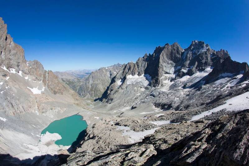
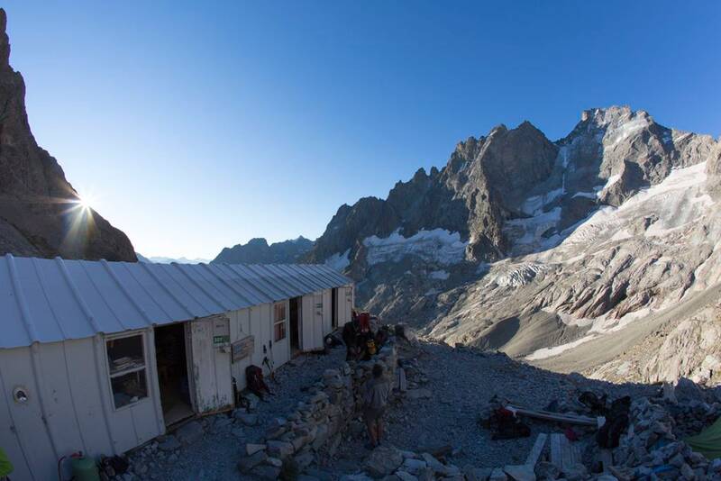
Pavé lake and mountain refuge
A hike for immersion in incredible alpine landscapes, where the goal is to discover the Pavé lake. Life, zooplancton and phytoplancton, already exists in this recent lake, at an altitude of 2800 m.
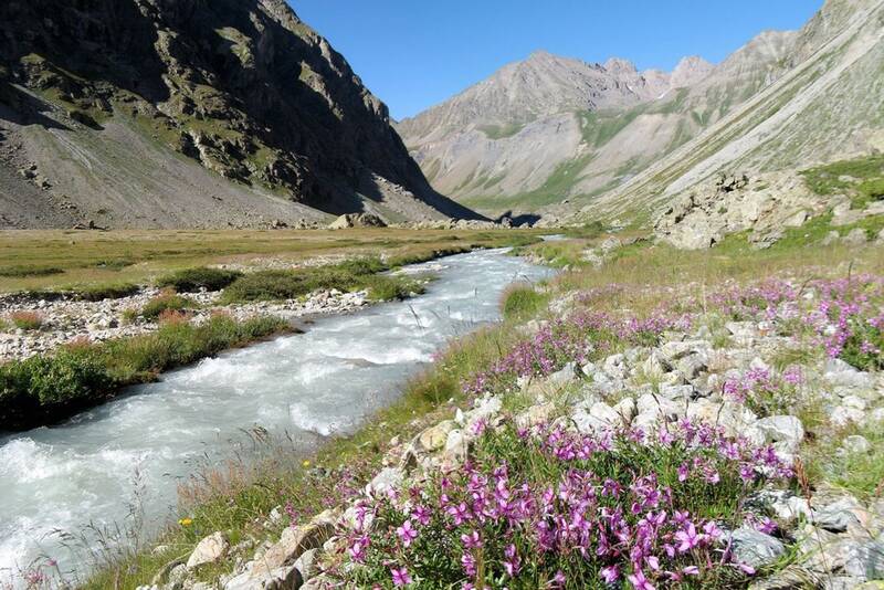
From the start, at the car park at the bottom of the La Gravière, beyond the Arsine bridge, the footpath to the Pavé mountain refuge first follows the very popular footpath to the Alpe de Villar d'Arène refuge (GR54). It leaves this path at the summit of the glacial cross-cliff that the locals call 'Les voûtes'. It then goes alongside the Romanche on the right bank for 2 km of the Plan de l'Alpe, which was previously of interest for the construction of a hydroelectric dam. At the Valfourche bridge that marks the entrance to the heart of the Parc National des Ecrins, the route then crosses to the left bank. It leaves the Romanche valley to go up to the Cavales valley, along the edge of the stream of the same name, until it reaches Les Pichettes, where the alpine meadows end. The valley is then purely mineral. The footpath follows the ridge of the remarkable moraine, up to just below the Clot des Cavales pass in order to circumvent a series of rocky ledges and leads to the Pavé lake and refuge.
Overtures :

Villar-d'Arêne
Lieu de départ : Le Pied du Col, Villar-d'Arêne.Lieu d'arrivée : Le Pied du Col, Villar-d'Arêne.De La Grave, prendre la D1091 en direction de Villar d'Arêne. Prendre à droite sur la D207. Au croisement, tourner à droite vers le refuge de l'Alpe. Traverser le pont d'Arsine et prendre la piste à droite qui mène au parking à 1 km.Parking conseillé : Parking du fond de la Gravière, Arsine .Bus ligne Grenoble - Briançon, via le col du Lautaret (ligne express régionale : LER 35)