
The Arsine Lakes
The hamlet of Le Casset lives to the rhythm of colours: from the green meadows of the valley to the pastel blue of the glacial lakes of Arsine.
From the car park at the entrance to the hamlet of Le Casset, level with the Park Information Centre, walk up the main alleyway through the hamlet, crossing the second bridge over the Guisane on your left.
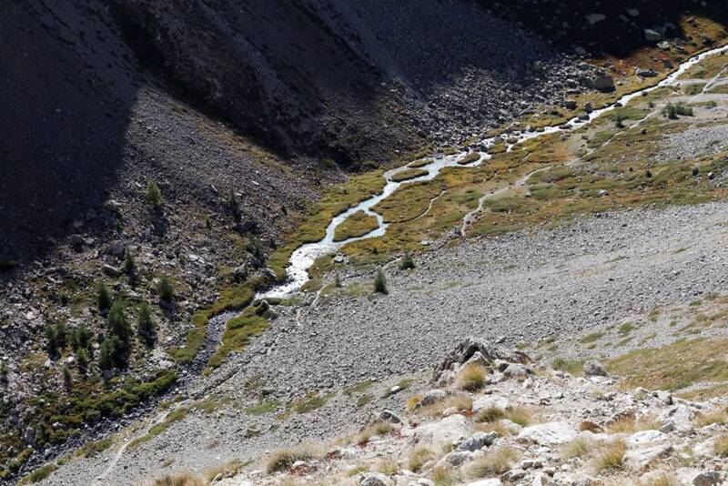
A straight track runs alongside the Petit Tabuc stream, gradually leaving the hay meadows behind and entering the woods.
Beyond the Clot du Gué barrier and bridge, a steady ascent crosses the mélézin and leads first to the Grand Pré clearing (1683 m) and then to the Lac de la Douche (1901 m).
The heart of the Ecrins National Park begins on the other side of the stone and wood ford. A winding path through a large scree gives well-deserved access to a mineral valley populated by chamois. In the distance, on the right, the shepherd's hut is a reminder of how this area was used for grazing. The path continues along the right-hand side of the valley until it reaches the Col d'Arsine (2340 m).
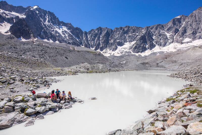
It's time to leave the GR 54 and cross the large frontal moraine of the Glacier d'Arsine. Two large lakes mark the end of your journey (2455 m). The cirque of the Glacier d'Arsine, topped by majestic peaks such as the Agneaux and the Pic de Neige Cordier, is a sight to behold.
Return via the same route.
Overtures :


Villar-d'Arêne
Lieu de départ : Le Casset (Le Mônetier-les-Bains).Lieu d'arrivée : Le Casset (Le Mônetier-les-Bains).Le Casset à 17 km de Briançon par la D1091 et D300.Parking conseillé : A l'entrée du hameau du Casset .