
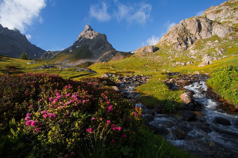
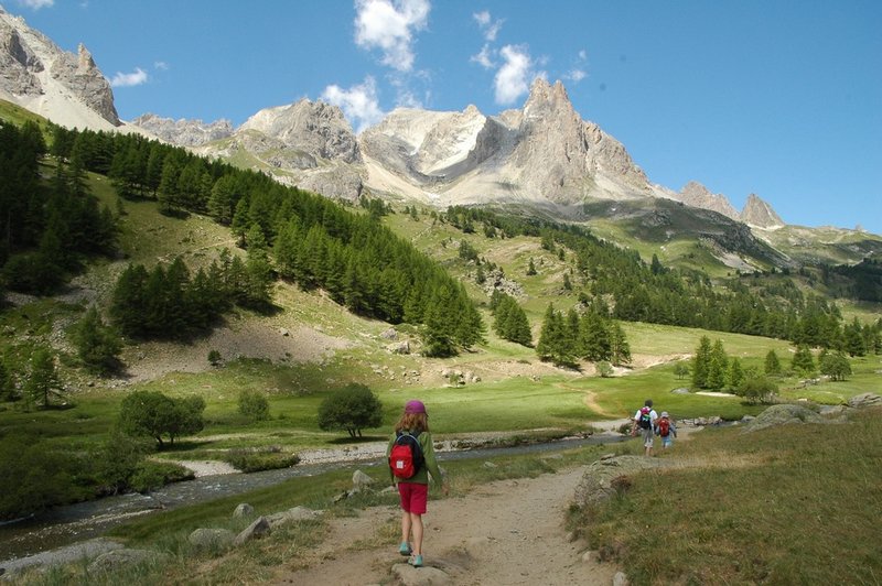
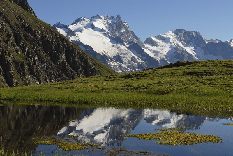
This multi-day trek from La Grave to the Clarée Valley offers a great variety of landscapes, from the high peaks and glaciers of the Ecrins National Park to the Dolomitic pinnacles of the Cerces Massif, as well as a rich wildlife, alpine lakes, rivers and cheerful little mountain streams. Various mountain huts welcome you on the route, for a meal or for an overnight stay. On certain stages it is possible to stay over in a village. To complete the whole route, you should count 6 to 7 days but it is possible to choose one part of it to go for a 2 or 3 day hike. If you are hiking with your family, remember to adapt the length of each day's hike to the children.
Day 1 :
La Grave (1470 m) – Alpe de Villar (2077 m) by the GR54 trail : + 750 m, – 125m, 11 km, 4.5 hours.
Variant : by the Aiguillon Ridge (2059 m) and the Pontet Lake, with beautiful views of the Meije Massif and the Romanche Valley : + 1000 m, – 450 m

Day 2 :
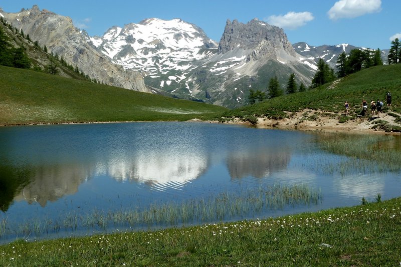
Alpe de Villar 2077 m – Arsine Mountain Pass 2320 m – Arsine Glacier Lake (2458 m) – Le Casset (1500 m) by the GR54 trail: +416 m, -960m, 13 km, 5 hours.
You can also continue on to Le Lauzet (1650 m) to stay there for the night, you then have to count + 185 m, 4 km, 1 hour more.
Day 3 :
Le Casset (1500 m) – Chardonnet Mountain Pass (2638 m) - Chardonnet Refuge (2227 m) : + 1138 m, – 410 m, 12 km, 5-6 h
Most of the route follows the GR57 trail.
If you start from the Lauzet (1650 m) : + 990 m, 9 km, 4-5 hours
Day4 :
Chardonnet Refuge 2227 m – Fontcouverte (1861 m) - Clarée Lake (2433 m) – Laval Refuge (2030 m) or Drayères Refuge (2180 m): + 570 m, – 620m / 770 m, 13 / 16 km, 5-6 hours
Variant : Rond Lake (2450 m) and Long Lake (2400 m) instead of the Clarée Lake
Day 5 :
Laval/Drayères – Laramon Lake and Serpent Lake (2450 m) – Névache (1596 m) : + 600 m, - 430 m, around 10 km, 4 hours.
Day 6 :
Névache (1596 m) – Thûres Mountin Pass (2194 m) – Granges de la Vallée Étroite (1765 m) : + 600 m, - 430 m
You can spend the night at the Rifugio Re Magi or the Rifugio Terzo Alpini.
Variant :
If you want to take your time to fully enjoy the view of La Meije, it is possible to add a first day where you will go up to the Goléon Lake where the view is really stunning. After a night at the Goléon Hut, you will then cross the Aiguillon Ridge and go by the beautiful little Pontet Lake on your way down to Arsine before heading up to the Alpe de Villar, where you will stay the night. From there, you follow the itinerary as described above.
Day 1 : La Grave – Les Hières – Goléon Lake. Night at the Goléon Refuge. +1000 m
Day 2 : Goléon Refuge – Aiguillon – Pontet Lake– Arsine – Alpe de Villar. + 600 m, - 400 m


Main trails :
GR 54, GR 57, GRP Tour du Mont Thabor (variant of the GR57).
Accomodation:
IGN topographic maps:
3436 ET Meije Pelvoux, 3535 OT Névache Mont Thabor, 3435 ET Valloire (for the variants by the Goléon Lake and the Aiguillon Ridge)
Consult the maps online: www.ignrando.fr
Transport :
For La Grave : the regular bus service LER35 will take you to La Grave from Grenoble and Briançon.
In the summer there are shuttle buses from the Granges de la Vallée Étroite to Bardonecchia Train Station. For the timetable, ask at the Mountain Huts in the Étroite Valley. From Bardonecchia, you can catch a TGV train for Lyon or Paris. You can also catch local train to Oulx and a bus to Briançon.


